<< Visualizing Coastal Change in Metro NY - Resource Main Page
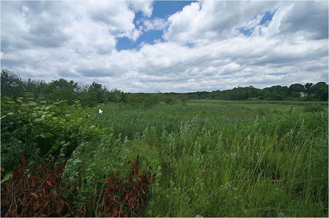
Arlington Marsh is one of the few pieces left of the once-vast wetlands of northwest Staten Island, one of the three great marshes of New York Harbor, along with Jamaica Bay and the New Jersey Meadowlands. Even amid abandoned industrial sites the marsh has a range of healthy wetland habitats.
More than 100 species of birds feed or nest here, and mudflats and salt marshes are nurseries for fish shellfish and other marine organisms. In 2007 Mayor Bloomberg transferred the 70-acre salt marsh to NYC Parks on recommendation of the city Wetlands Transfer Task Force, rather than have it held in reserve for possible future expansion of the nearby container port at Howland Hook.
(
Source: Gotham Gazette)
Study Site Narrative & Project Summary (
pdf)
Study Site Maps
- Nautical Chart (1845) (pdf)
- Historic Topographic Map (1900) (pdf)
- Historic Air Photo Map (1954) (pdf)
- Historic DoT Map (1967) (pdf)
- Current Topographic Map (1995) (pdf)
- Current Air Photo Map (1994) (pdf)
Workshop Exercises: Files
- Aerial Photographs (pdf)
- Site Characterizations (pdf)
- Topographic Maps (pdf)