
|
|
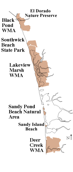
To improve our understanding of how the beaches and dunes along Lake Ontario's eastern shore are faring over time, the Central & Western New York Chapter of The Nature Conservancy, in cooperation with NY Sea Grant, NYS OPRHP, and Oswego County Soil & Water Conservation District, has developed and implemented a photo monitoring program to track changes at four sites: El Dorado/Black Pond Wildlife Management Area, Sandy Pond Beach, Sandy Island Beach and Southwick Beach State Park.
Photopoints have been selected and photos are being taken in the same locations at specified intervals (usually 2-3 years).To view photopoints within each of these four sites, click on the site map to the left or on the tabs at the top of this page.
This project was supported by a grant from the Environmental Protection Agency.
