PreviousNext

Welcome to the
Eastern Lake Ontario
Dunes and Wetlands Area

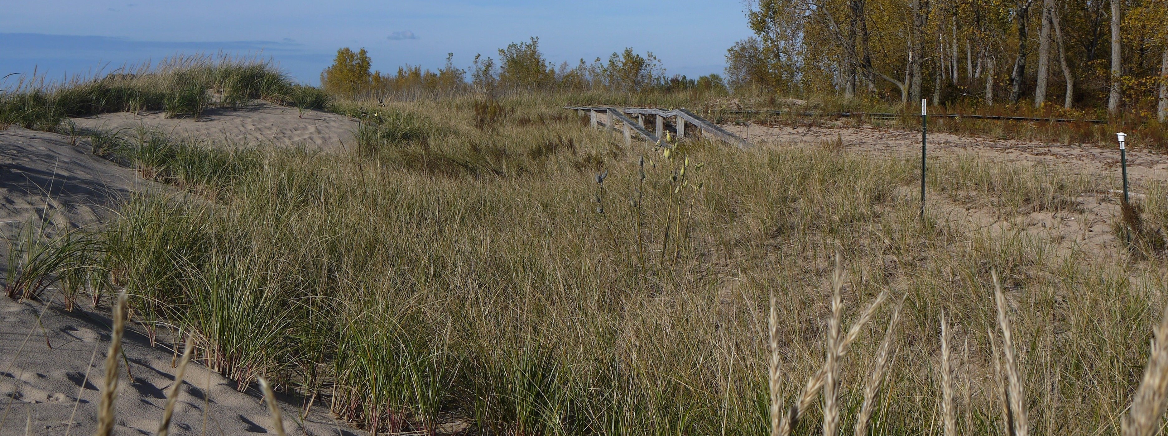
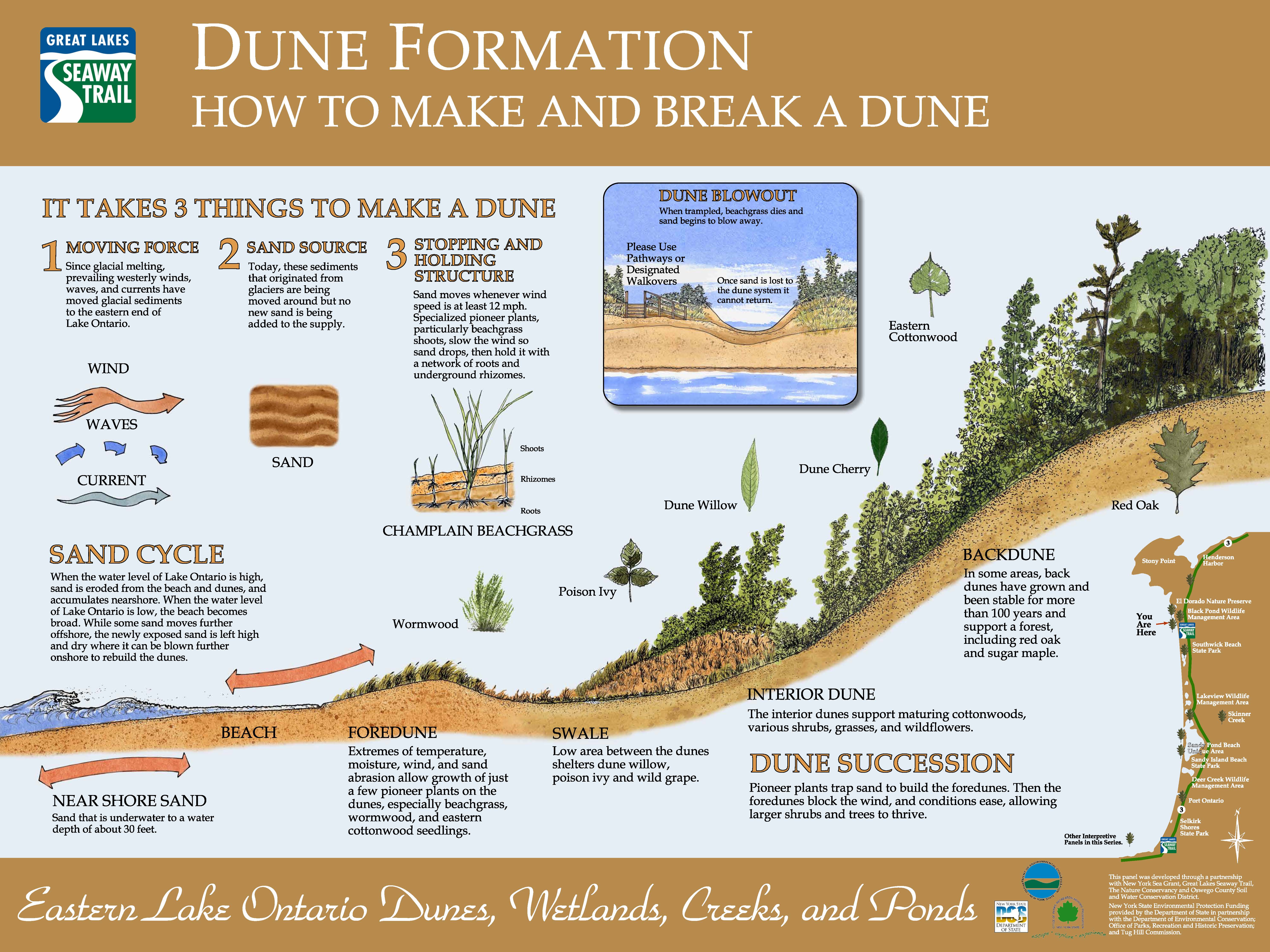
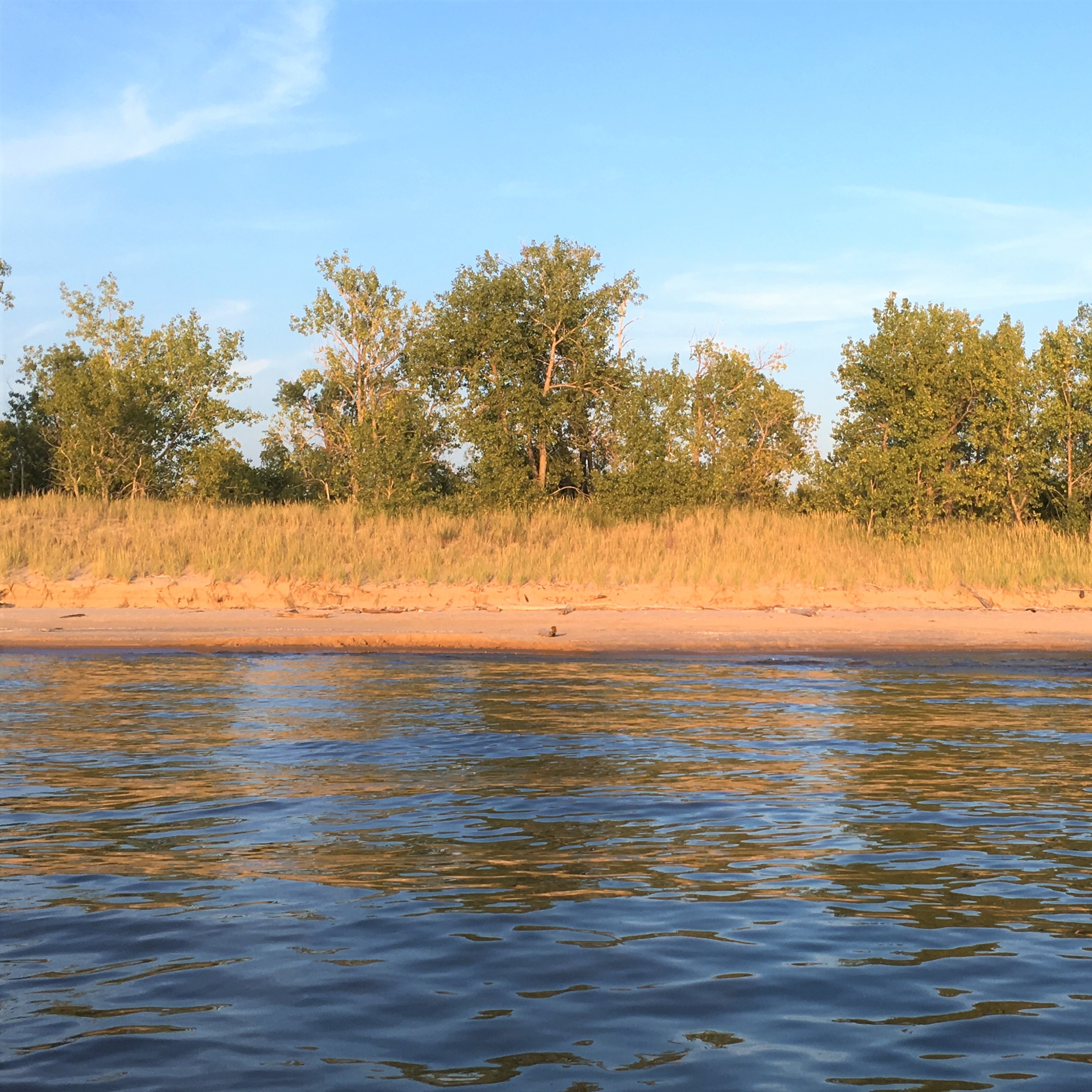
Along Lake Ontario’s eastern shore is a 17-mile stretch of beaches, wetlands, woodlands, ponds, and creeks known as the Eastern Lake Ontario Dunes and Wetland Area. Reaching from the mouth of the Salmon River north to the outlet of Black Pond, the area supports a diversity of plants and wildlife. This barrier system contains the largest and most extensive freshwater sand dune formations in New York State. These natural sand dunes along the eastern shore of Lake Ontario are an integral part of the unique coastal barrier environment.


Discover more about this fascinating coastal environment, including it's flora and fauna, public trails and boat routes, and how you can help protect this area.

 
Thumbnail Image 1

Recreation

Take a walk along the beach or swim, picnic, camp, and play ball at Southwick Beach State Park and Sandy Island Beach State Park. If you prefer a more rustic setting try hiking, boating, bird watching, fishing, or hunting in the three wildlife management areas (Deer Creek, Lakeview Marsh and Black Pond) or El Dorado Nature Preserve. The numerous creeks throughout the ELODWA have slight currents, perfect for canoeing, kayaking or paddleboarding.

Thumbnail Image 1

Education

Looking for more information about this unique region? This section offers educational resources and activities to help visitors and educators experience and share the unique ELODWA region more broadly. All of these resources directly address the ELODWA.

Thumbnail Image 1

Eastern Lake Ontario Dune Coalition

The Eastern Lake Ontario Dune Coalition, which was formed in 1985, promotes and supports the protection, stabilization, restoration and optimum public use in keeping with private property rights of the Eastern Lake Ontario Dunes and Wetlands Area. The Coalition provides technical and educational services to its member organizations, property owners and public officials focused on the wise use and management of this unique natural resource.

Thumbnail Image 1

Photomonitoring

Photo point monitoring uses repeat photography taken from the same location and field of view as the original photo, over a period of time. This method of monitoring vegetation and ecosystem changes is effective and inexpensive. Established photomonitoring points for the Eastern Lake Ontario Dunes show changes to the landscape over time.

gebze evden eve nakliyat

© This site has been developed by the New York Sea Grant Extension Program in cooperation with the Eastern Lake Ontario Dune Coalition member organizations to provide resources for those wishing to learn more about this unique system and its use and management. For additional information on the Eastern Lake Ontario Dunes and Wetlands Area contact: New York Sea Grant at SGOswego@cornell.edu or (315)312-3042